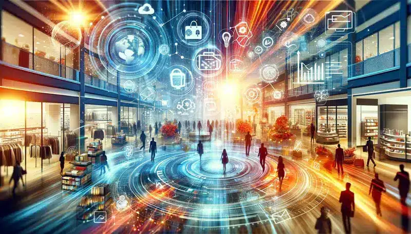
Tailor-made software for smart data, devices and interfaces
We develop customised solutions to collect, analyse and visualise data from existing devices, sensors or systems.
We create cloud dashboards, web applications and 3D interactive interfaces, including augmented and virtual reality, integrating IoT technologies, intelligent algorithms and real-time visualisations.
We have experience in projects for environmental monitoring, mobility, fleet management and immersive configurators for retail.
A tool for creating interactive prototypes that generates web apps, already running in the cloud. It is designed for those who want to validate ideas, show flows or share realistic interfaces without writing code. Ideal for designers and start-ups who want to go straight ‘from concept to reality’.
Abitarka - Configure and visualise your spaces in 3D
An interactive web app for designing living spaces in a simple, realistic and customised way. It allows you to create floor plans, insert furniture, experiment with layouts and visualise the result in real time with photorealistic renderings.
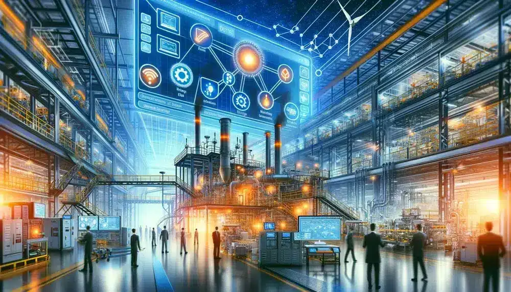
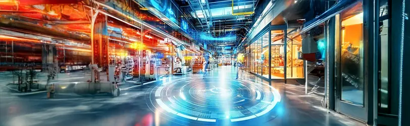
FlashVision - Cloud platform for real-time data management and visualisation
Our cloud platform for collecting, analysing and visualising data from heterogeneous sources: IoT sensors, cameras, GPS, databases and enterprise systems. Scalable and customisable, it allows you to integrate real-time streams, build interactive dashboards, create alerts and automate logics.
Craft 3Dream - 3D configurator for exclusive products
3D web configurator designed to enhance high-end products: cars, designer furniture and custom objects. It combines high quality graphics with immersive interfaces (virtual reality) offering an immersive experience for brands that want to stand out.
An interactive web app for generating synthetic datasets from 3D models, useful for training neural networks in computer vision scenarios . It allows you to position 3D objects, manage framing and scene conditions, and automatically download 2D images and annotations.
A concrete example of how IoT technologies, cloud and geospatial interfaces can be integrated for applications in safety, logistics and fleet monitoring. A web demo to visualise real-time data from geolocalised sensors, transmitted via LoRaWAN.
A simple, browser-accessible image annotator designed for labelling and dataset creation. It allows you to draw boxes or masks on images, export annotations in standard formats, and create datasets ready for training AI models.